
Description
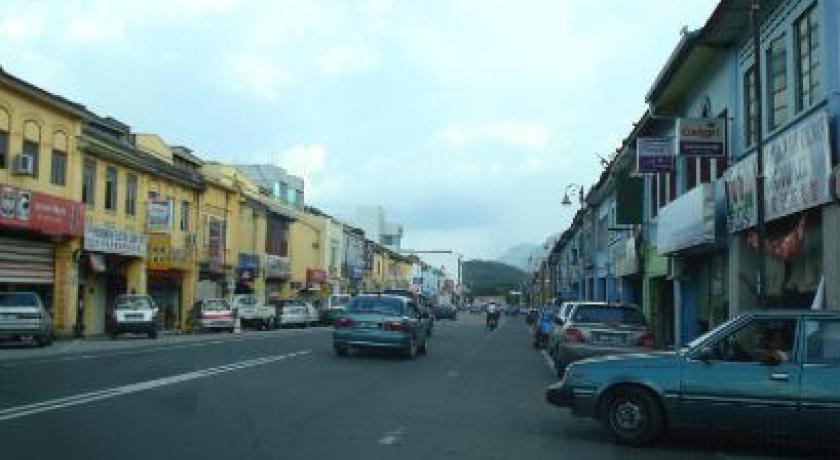
The Bentong District (Chinese: 文冬) is a district in Pahang, Malaysia. The district covers an area of 1,831 km² and includes the hill resort of Genting Highlands. It is located 80 km northeast of Kuala Lumpur, just across the main range, Titiwangsa Mountains. The original main street going into Bentong town has been modified to a dual carriageway. It is bordered by Selangor on the west and Negeri Sembilan on the south.
History
According to an old story, Bentong was previously known as Kapong. It was changed from Kapong to Bentong before World War I. In earlier times, the center of Bentong was around the market area, at the meeting point of the rivers Repas and Perting.
The most important transportation way at that time was the rivers by using perahu (small boats). The jetty was situated in front of current rest house (near current Bentong Police Station).
Bentong became a focal point when tin ore was discovered in the two main rivers, Repas and Perting. Tin developers constructed ‘ban’ to extract more ore, hence more profits. The practice became a talking matter to the people outside Bentong, who referred to it as the story of ‘ban untung’ (the Profitable Ban). ‘Ban Untung’ became more well-known than Kapong that later people began to call it Ban Untung. From the name ‘Ban Untung’ was what the name for the district of Bentong derived from.
From other story, according to Pak Zek (Budayawan Dato’ Haji Zakaria bin Hitam), the name Bentong originated from ‘Bapong’ (meaning float). Bentong was once used as a fort by Dato’ Bahaman. The British army sent over the Gurkhas mercenary to defeat Dato’ Bahaman to take over the area. However, a number of the Gurkhas were killed after they were ambushed by Dato’ Bahaman’s men. Their bodies were thrown into the river and floated in the water. Following the incident, the site was known as Bapong, and later known as Bentong. The exact date of the name change was on 31 August 1957.
Profile
Bentong is both a town and a district situated in the west side of Pahang Darul Makmur, Malaysia. In the beginning, Bentong subdistrict was under the administration of district of Raub. The administration was separated in 1919 due to the large size of the district of Raub. The district covers an area of 183,112.35 hectares. It is located northeast of Kuala Lumpur, just across the main mountain range, Titiwangsa Mountains. The original main street going into Bentong town has been modified to a dual carriageway. However, the part of the road which leads to Raub and Kuala Lipis had been upgraded.
As of 2002, Bentong has a population of 101,533 people. Bentong is administered by Bentong Municipal Council and is one of the fastest growing towns in Pahang. It is similar in size to Raub. Bentong has many light and medium industries, including timber factories, food industries and electronic components assembly factory. It also has one multinational copper wire factory which is the biggest in the country.
Transport
In general, Bentong district's paved roads totalled 837.26 km, comprising 311.22 km of federal roads, 224.51 km of state roads, 124.05 km of urban roads, and 177.48 km of FELDA roads.
Three major routes - 8, E8 and 68 converge at Bentong. Bentong is the eastern end of the old Gombak-Bentong road (route (68)). Highway (8) begins in Bentong and goes up all the way to Kota Bharu in Kelantan. The Karak Highway, part of the East Coast Expressway (E8) is the main link to Kuala Lumpur as well as the state capital Kuantan.
Motorists from Negeri Sembilan and Malacca that wish to enter Pahang while bypassing the Klang Valley will usually opt for highway (9) which interchanges with the East Coast Expressway in Karak in the eastern part of Bentong constituency.
In terms of public transportation, Bentong is not served by the KTM rail network. There though are buses serving downtown Bentong (through Hentian Raya Bentong) as well as Genting Highlands (which is part of Bentong constituency).
source https://en.wikipedia.org/wiki/Bentong_District
Address
Bentong District
Malesia
Lat: 3.826514482 - Lng: 103.323814392

